You are viewing a teaching resource that has been retired.
It is likely that it has been replaced by a new edition for the new specifications.
Please go to the ZigZag Education homepage to select your subject, level and exam board to find the latest version.
GCSE AQA A Geographical Skills
Students learn how to create and interpret every type of map, graph, diagram and photograph needed for the GCSE AQA A exams and fieldwork!
- Every skill is explained clearly and concisely, with examples
- ‘Technique Tips’ and ‘Exam Hints’ help students avoid common mistakes
- Practice Exercises to put skills into practice
- Exam-Style Questions (Higher and Foundation) prepare your students for the exam!
Three comprehensive sections covering the entire GCSE AQA A
Skills Checklist:
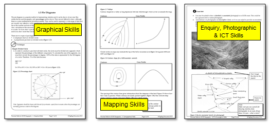
- Graphical SkillsLine & Bar Graphs (Simple, Comparative, Divided, Divergent), Pie Diagrams, Located Diagrams, Scattergraphs
- Mapping SkillsOS Maps, Scales, Grid References, Contour Lines, Distances & Directions, Valley Cross Sections, River Cross Profiles, Long Profile of a River, Flow & Desire Lines, Choropleth Maps, Isoline Maps
- Enquiry, Photographic and ICT SkillsInvestigation, Methodology, Data Collection (Primary & Secondary), Mean, Median, Dispersion, Interquartile Range, Mode, Aerial & Ground-Level Photographs, Sketches from Photos / in the Field, Satellite Photographs, GIS
- Detailed answers included
- A5 – provided in A4 & A5 formats
- CD PowerPoints support your delivery with all maps & diagrams in colour